
Comprising about 4,750acres, The Coronado National Memorial commemorates the first organized expedition into the Southwest by conquistador Francisco Vásquez de Coronado. The expedition traversed this area in 1540-1542. The memorial is located in a natural setting on the international border on the southeast flank of the Huachuca Mountains south of Sierra Vista, Arizona. Unlike most other National Park Facilities there is no charge to visit this site.

This map provides an overview of Coronado’s expedition and how far into Kansas and other areas they traveled looking for the seven cities of Gold that had been reported. They did not find the cities of Gold.

Hermit Thrush. They have been very visible on this excursion. Normally they are secretive and somewhat shy. We have seen several Hermit Thrushes during our travels in the southwest.
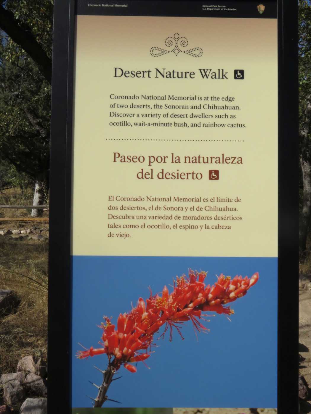
The National Park Service has done a great job providing information for the visitor. There are numerous signs similar to this one around and in the visitor center presenting information on a variety of subjects pertaining not only to Coronado but the flora and fauna in the surrounding environment. The signs and their content are very well done.

Spotted Towhee. In Catalina State Park we found four different Towhees. Canyon, Green-tailed, Abert’s, and Spotted. This is the first image we have been able to get of the Spotted Towhee. The Canyon and Abert’s are not shy at all while the Green-tailed and the Spotted require some effort to photograph.

This is a Chipping Sparrow. Some of the reasons sparrows are hard to uidentify is that they can look different depending on the time of year, they don’t often sit still for very long, and they frequently hide behind brush and twigs obscuring their identity. Note the overall gray appearance, the black line behind the eye, the notched tail, the bi-colored bill, clear breast, and the pink legs. All attributes of a winter Chipping Sparrow.

The road from the visitor center is a winding, twisting, switchback affair. The first part is paved but when it starts climbing and twisting it becomes a narrow gravel covered goat track. There are not a lot of guard rails. It is actually not quite that bad but it feels that way.
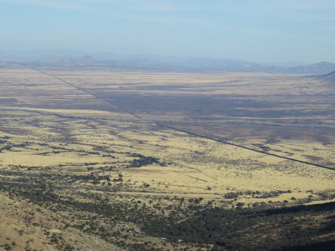
You can see a brown line running diagonally through the image. That is the border wall. Not the Trump wall, this one was built several years ago when they started with the wall stuff. In chatting with the fellow at the monument he mentioned that in the initial wall they did not allow for the power of water, even here in the desert. During the monsoons a section of the wall was torn out by floods. The wall was ten feet deep and 17 feet high and still got ripped out. Some of this portion of the wall has openings for wildlife to pass through.

Here is the summit, Montezuma’s Pass as it were. You feel like you are way up, which you are. The Wall image above was taken looking to the east and shows the San Pedro Valley area. It is believed that Coronado followed the San Pedro River north on his trek.

In this image we are looking west into the San Raphael Valley. There is a lot of Oak forest and beautiful grasslands. We took the road out this direction to make a loop trip going home. Long drive but we did stop at Parker Canyon Dam out in the middle of nowhere and bought an Ice Cream. Good stuff.
If you are in this vicinity in Southern Arizona the Coronado Monument is worth a visit, it is a fascinating place with lots of educational material.
I love these little 'peaks' at your vacation time- You guys are seeing some beautiful places!
ReplyDelete